Datei:Administrative map of the Manatuto district of East Timor.png
Zur Navigation springen
Zur Suche springen

Größe dieser Vorschau: 460 × 599 Pixel. Weitere Auflösungen: 184 × 240 Pixel | 368 × 480 Pixel | 589 × 768 Pixel | 786 × 1.024 Pixel | 1.692 × 2.204 Pixel
Originaldatei (1.692 × 2.204 Pixel, Dateigröße: 459 KB, MIME-Typ: image/png)
![]()
Diese Datei und die Informationen unter dem roten Trennstrich werden aus dem zentralen Medienarchiv Wikimedia Commons eingebunden.
![]()
| Beschreibung |
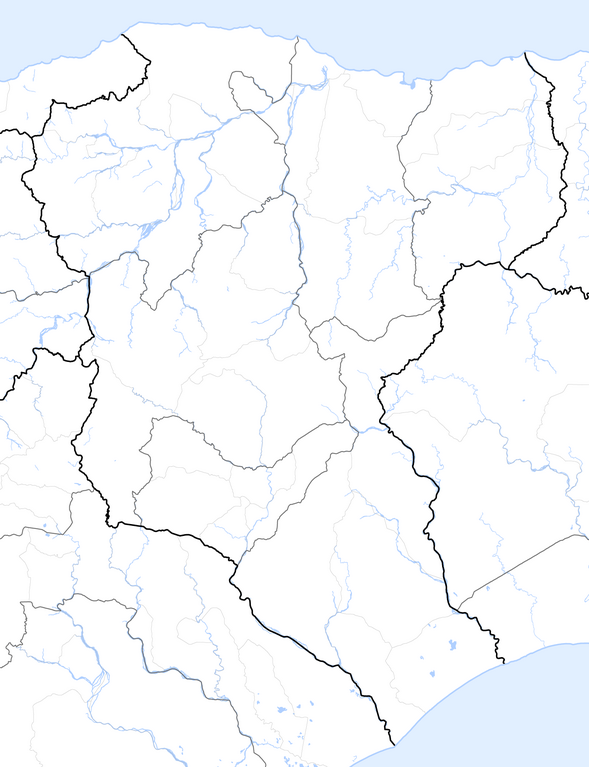
Deutsch: Verwaltungskarte des Distrikts Manatuto in Osttimor
English: Administrative map of the Manatuto district of East Timor |
| Datum | |
| Quelle | Self made, using informations from theTimor-Leste GIS Portal |
| Urheber | Maximilian Dörrbecker (Chumwa) |
| Genehmigung (Weiternutzung dieser Datei) |
Ich, der Urheber dieses Werkes, veröffentliche es unter der folgenden Lizenz: Diese Datei ist unter der Creative-Commons-Lizenz „Namensnennung – Weitergabe unter gleichen Bedingungen 2.5 generisch“ (US-amerikanisch) lizenziert.
Sie dürfen das Bild zu den folgenden Bedingungen nutzen:
|
Dateiversionen
Klicke auf einen Zeitpunkt, um diese Version zu laden.
| Version vom | Vorschaubild | Maße | Benutzer | Kommentar | |
|---|---|---|---|---|---|
| aktuell | 08:10, 19. Sep. 2009 | | 1.692 × 2.204 (459 KB) | Chumwa | {{Information |Description= {{ de }} Verwaltungskarte des Distrikts Manatuto in Osttimor {{ en }} Administrative map of the Manatuto district of East Timor |Source=Self made, using informations from the[http://websig.civil.ist.utl.pt/timorgis Timor-Leste |
Dateiverwendung
Keine Seiten verwenden diese Datei.