Datei:Cornwall outline map with UK.png
Zur Navigation springen
Zur Suche springen

Größe dieser Vorschau: 758 × 600 Pixel. Weitere Auflösungen: 303 × 240 Pixel | 607 × 480 Pixel | 971 × 768 Pixel | 1.280 × 1.013 Pixel | 1.351 × 1.069 Pixel
Originaldatei (1.351 × 1.069 Pixel, Dateigröße: 121 KB, MIME-Typ: image/png)
![]()
Diese Datei und die Informationen unter dem roten Trennstrich werden aus dem zentralen Medienarchiv Wikimedia Commons eingebunden.
![]()
Beschreibung
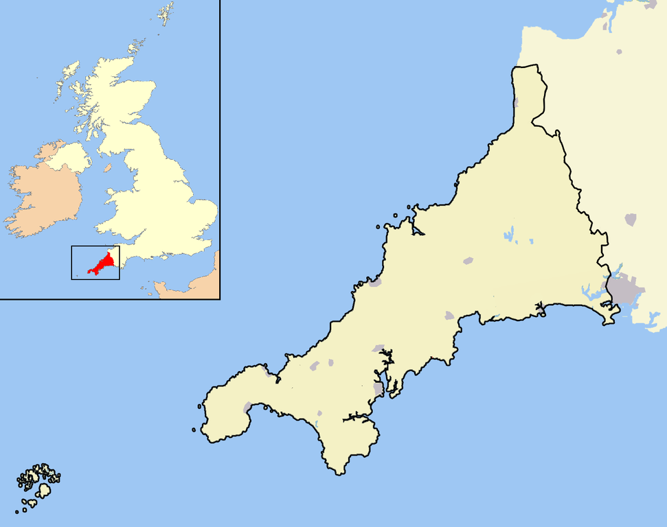
| Beschreibung | A map of the county of Cornwall, England, United Kingdom, showing the post-2009 district boundaries. |
| Datum | |
| Quelle | Eigenes Werk |
| Urheber | Jhamez84 |
Lizenz
| Ich, der Urheberrechtsinhaber dieses Werkes, veröffentliche es als gemeinfrei. Dies gilt weltweit. In manchen Staaten könnte dies rechtlich nicht möglich sein. Sofern dies der Fall ist: Ich gewähre jedem das bedingungslose Recht, dieses Werk für jedweden Zweck zu nutzen, es sei denn, Bedingungen sind gesetzlich erforderlich. |
Dateiversionen
Klicke auf einen Zeitpunkt, um diese Version zu laden.
| Version vom | Vorschaubild | Maße | Benutzer | Kommentar | |
|---|---|---|---|---|---|
| aktuell | 17:17, 5. Apr. 2009 | | 1.351 × 1.069 (121 KB) | Warofdreams | |
| 16:03, 18. Dez. 2007 |  | 1.351 × 1.069 (149 KB) | Jza84 | Standardising some aesthetics | |
| 01:12, 18. Apr. 2007 |  | 1.351 × 1.069 (97 KB) | RichardB | ||
| 00:52, 18. Apr. 2007 |  | 1.300 × 1.078 (134 KB) | RichardB | ||
| 00:32, 18. Apr. 2007 |  | 1.361 × 1.078 (98 KB) | RichardB | ||
| 16:58, 14. Apr. 2007 |  | 1.546 × 1.180 (106 KB) | RichardB | ||
| 16:17, 14. Apr. 2007 |  | 1.546 × 1.180 (109 KB) | RichardB | An outline map of Cornwall for use within templates on Wikipedia. Own work - created 14th April 2007 - coastline and town position data derived from the OpenStreetMap project. District and county boundaries derived from the New Popular Edition Ordnance S |
Dateiverwendung
Keine Seiten verwenden diese Datei.
Globale Dateiverwendung
Die nachfolgenden anderen Wikis verwenden diese Datei:
- Verwendung auf en.wikipedia.org
- Verwendung auf eo.wikipedia.org
- Verwendung auf hy.wikipedia.org
- Verwendung auf ml.wikipedia.org
- Verwendung auf pl.wikipedia.org
- Verwendung auf tr.wikipedia.org