Datei:Baldhill Dam Sheyenne River.jpg
Zur Navigation springen
Zur Suche springen

Größe dieser Vorschau: 800 × 459 Pixel. Weitere Auflösungen: 320 × 183 Pixel | 640 × 367 Pixel | 1.024 × 587 Pixel | 1.500 × 860 Pixel
Originaldatei (1.500 × 860 Pixel, Dateigröße: 388 KB, MIME-Typ: image/jpeg)
![]()
Diese Datei und die Informationen unter dem roten Trennstrich werden aus dem zentralen Medienarchiv Wikimedia Commons eingebunden.
![]()
| Beschreibung |
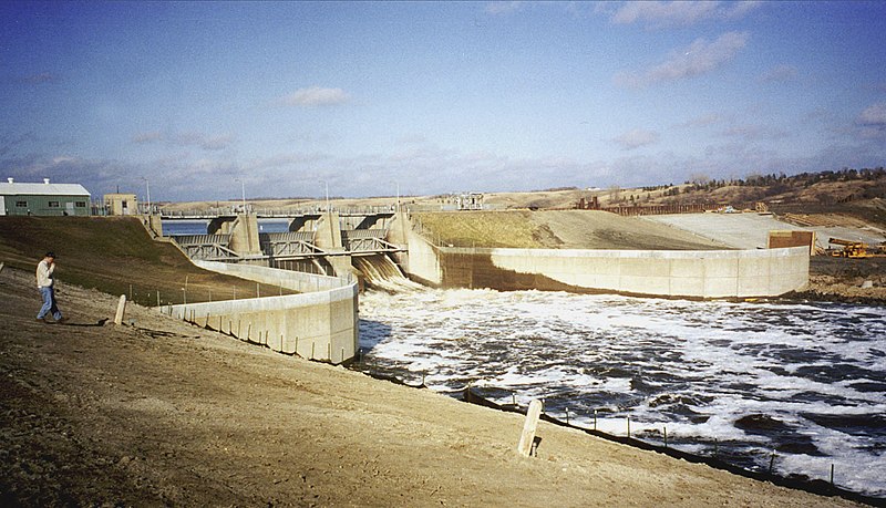
English: Baldhill Dam on the Sheyenne River near Valley City, North Dakota, USA. The photograph was taken during the spring 1996 flood on the Red River of the North. |
|||
| Datum | ||||
| Quelle |
U.S. Army Corps of Engineers Digital Visual Library Image page Image description page Digital Visual Library home page |
|||
| Urheber | Ken Gardner, U.S. Army Corps of Engineers | |||
| Genehmigung (Weiternutzung dieser Datei) |
|
|||
| Ort | Valley City, North Dakota, USA |
| Kameraposition | | Dieses und weitere Bilder auf OpenStreetMap |
|---|
Dateiversionen
Klicke auf einen Zeitpunkt, um diese Version zu laden.
| Version vom | Vorschaubild | Maße | Benutzer | Kommentar | |
|---|---|---|---|---|---|
| aktuell | 23:06, 9. Jun. 2011 | | 1.500 × 860 (388 KB) | Finetooth | Cropped to eliminate the shadow of the photographer; adjusted contrast. |
| 03:57, 7. Apr. 2007 |  | 1.500 × 1.000 (338 KB) | DanMS | {{Information | Description = {{en|Baldhill Dam on the Sheyenne River near Valley City, North Dakota, USA. The photograph was taken during the spring 1996 flood on the Red River of the North.}} | Source = U.S. Army Corps of Engineers Digital Vi |
Dateiverwendung
Die folgenden 2 Seiten verwenden diese Datei:
Globale Dateiverwendung
Die nachfolgenden anderen Wikis verwenden diese Datei:
- Verwendung auf arz.wikipedia.org
- Verwendung auf bh.wikipedia.org
- Verwendung auf ceb.wikipedia.org
- Verwendung auf en.wikipedia.org
- Verwendung auf es.wikipedia.org
- Verwendung auf fa.wikipedia.org
- Verwendung auf fr.wikipedia.org
- Verwendung auf la.wikipedia.org
- Verwendung auf pl.wikipedia.org
- Verwendung auf sr.wikipedia.org
- Verwendung auf www.wikidata.org
- Verwendung auf zh.wikipedia.org