Datei:California 84.svg
Zur Navigation springen
Zur Suche springen

Größe der PNG-Vorschau dieser SVG-Datei: 385 × 401 Pixel. Weitere aus SVG automatisch erzeugte PNG-Grafiken in verschiedenen Auflösungen: 230 × 240 Pixel | 461 × 480 Pixel | 737 × 768 Pixel | 983 × 1.024 Pixel | 1.966 × 2.048 Pixel
Originaldatei (SVG-Datei, Basisgröße: 385 × 401 Pixel, Dateigröße: 12 KB)
![]()
Diese Datei und die Informationen unter dem roten Trennstrich werden aus dem zentralen Medienarchiv Wikimedia Commons eingebunden.
![]()
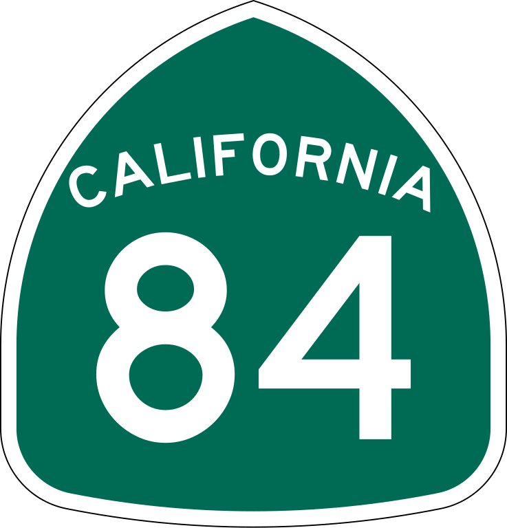
| Beschreibung | Vector image of a 24 in by 25 in (600 mm by 635 mm) California State Route shield. Colors are from [1] (Pantone Green 342), converted to RGB by [2]. The outside border has a width of 1 (1/16 in) and a color of black so it shows up; in reality, signs have no outside border. |
| Datum | |
| Quelle | Made to the specifications of the 1971 Caltrans sign drawing (still in use). Uses the Roadgeek 2005 fonts. (United States law does not permit the copyrighting of typeface designs, and the fonts are meant to be copies of a U.S. Government-produced work anyway.) |
| Urheber | SPUI |
| Andere Versionen |
Diese Datei enthält Elemente, die von folgender Datei entnommen oder adaptiert wurden: |
| SVG‑Erstellung | Dieses Logo wurde mit Adobe Illustrator erstellt. |
This file is in the public domain because it comes from the California Manual on Uniform Traffic Control Devices, sign number G28-2 (CA), which states specifically in its introduction, on page 44 that:
|
Dateiversionen
Klicke auf einen Zeitpunkt, um diese Version zu laden.
| Version vom | Vorschaubild | Maße | Benutzer | Kommentar | |
|---|---|---|---|---|---|
| aktuell | 18:33, 20. Mär. 2006 | | 385 × 401 (12 KB) | SPUI~commonswiki | |
| 15:49, 20. Mär. 2006 |  | 385 × 401 (12 KB) | SPUI~commonswiki | {{spuiother}} 24 in by 25 in (600 mm by 635 mm) California State Route shield, made to the specifications of the [http://www.dot.ca.gov/hq/traffops/signtech/signdel/specs/G28-2.pdf 1971 Caltrans sign drawing] (still in use). Uses the [http://www.triskele. |
Dateiverwendung
Die folgende Seite verwendet diese Datei:
Globale Dateiverwendung
Die nachfolgenden anderen Wikis verwenden diese Datei:
- Verwendung auf ast.wikipedia.org
- Verwendung auf en.wikipedia.org
- Dumbarton Bridge (California)
- San Francisco Peninsula
- Sacramento County, California
- Yolo County, California
- California State Route 1
- Alameda County, California
- San Mateo County, California
- Solano County, California
- Northern California
- Hetch Hetchy
- Interstate 880 (California)
- Interstate 580 (California)
- Interstate 680 (California)
- Interstate 280 (California)
- Bayshore Freeway
- California State Route 85
- FasTrak
- Interstate 238 and State Route 238 (California)
- California State Route 82
- California State Route 35
- California State Route 84
- California State Route 12
- Green Line (BART)
- Orange Line (BART)
- Wikipedia:WikiProject U.S. Roads/Redirects/California
- Niles Canyon Railway
- California State Route 220
- California State Route 114
- California State Route 109
- California State Route 83
- Transportation in the San Francisco Bay Area
- U.S. Route 101 in California
- List of highways numbered 84
- Ryer Island
- Template:Green Line (BART)
- Template:Orange Line (BART)
- User:NE2/CA
- List of state highways in California
- User:DeFaultRyan/Travels
- User:Timsabin/List of HOT and ETL lanes in the United States
- California county routes in zone E
- Template:Niles Canyon Railway
- Real McCoy (ferry)
- San Mateo–Hayward Bridge
- User talk:Rschen7754/Archive 32
- User:Mliu92/sandbox/Dumbarton Rail Corridor
- User:Kevon kevono/Started From the Bottom
- Real McCoy II
- User:Tv's emory/Sandbox/List of state highways in California
Weitere globale Verwendungen dieser Datei anschauen.