Datei:Croatia map blank.png
Zur Navigation springen
Zur Suche springen
Größe dieser Vorschau: 600 × 600 Pixel. Weitere Auflösungen: 240 × 240 Pixel | 480 × 480 Pixel | 768 × 768 Pixel | 1.024 × 1.024 Pixel | 2.400 × 2.400 Pixel
Originaldatei (2.400 × 2.400 Pixel, Dateigröße: 281 KB, MIME-Typ: image/png)
![]()
Diese Datei und die Informationen unter dem roten Trennstrich werden aus dem zentralen Medienarchiv Wikimedia Commons eingebunden.
![]()
Beschreibung
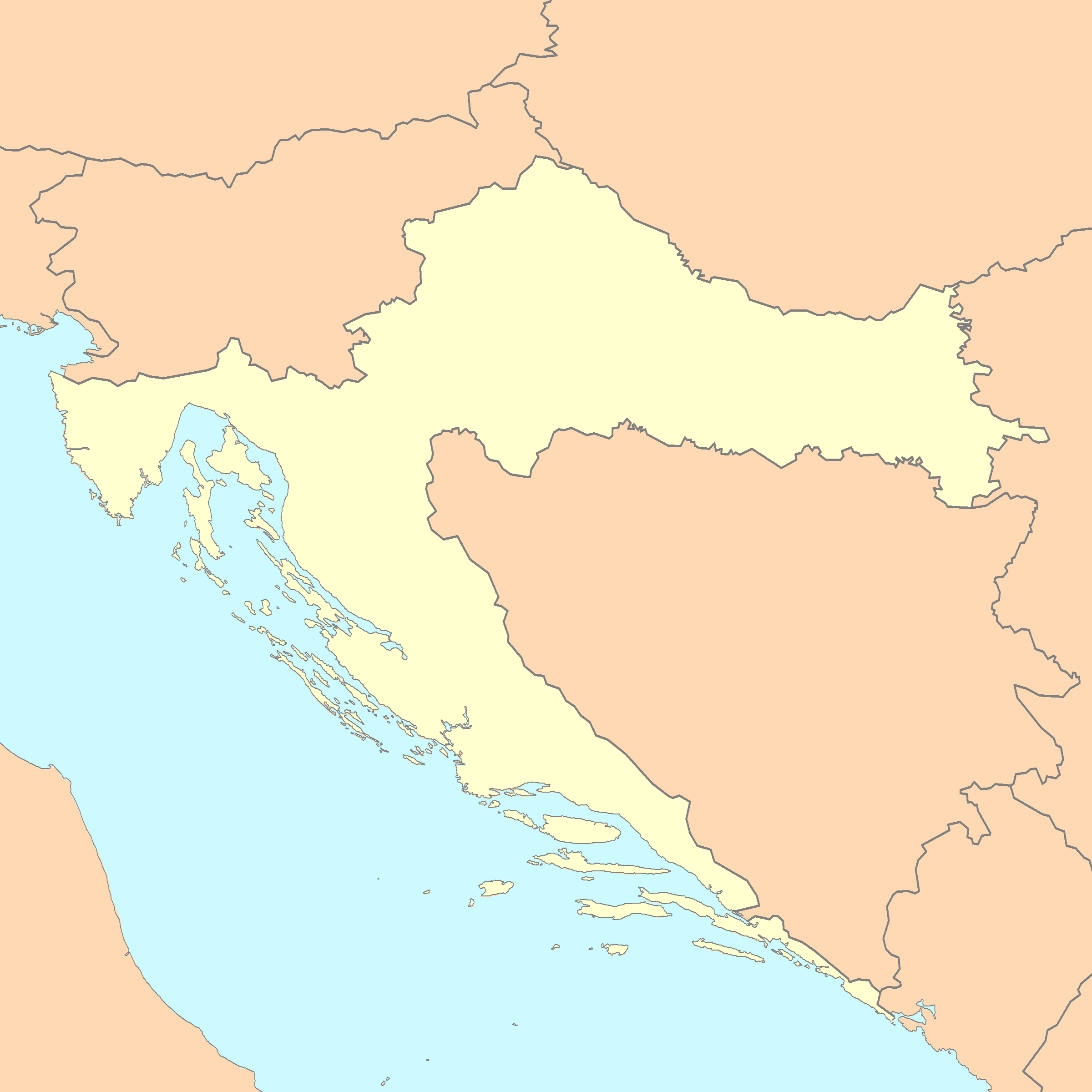
| Beschreibung | A blank map of Croatia |
| Datum | |
| Quelle | Reference map provided by Demis Mapper 6, enhanced using Corel Photo-Paint 12 |
| Urheber | Minestrone |

|
File:Croatia map blank.svg ist eine vektorisierte Version dieses Bildes. Diese sollte an Stelle des Rasterbildes verwendet werden, sofern sie nicht schlechter ist.
File:Croatia map blank.png → File:Croatia map blank.svg
Für weitere Informationen siehe Help:SVG. |
 |
Lizenz
Diese Abbildung ist gemeinfrei (Public domain), weil sie von der Webseite https://www.demis.nl/products/web-map-server/examples/ stammt, und dort vom Inhaber des Urheberrechts als gemeinfrei deklariert wurde. Es ist Ihnen gestattet, diese Landkarte nach belieben zu kopieren, zu verbreiten und/oder abzuändern, da sie aus gemeinfreien Abbildungen aus www.demis.nl erstellt worden ist. Siehe auch die Bestätigung per Email auf der deutschsprachigen Wikipedia und die Erläuterung.
|
| This work has been released into the public domain by its copyright holder, www.demis.nl. This applies worldwide. In manchen Staaten könnte dies rechtlich nicht möglich sein. Sofern dies der Fall ist: www.demis.nl gewährt jedem das bedingungslose Recht, dieses Werk für jedweden Zweck zu nutzen, es sei denn, Bedingungen sind gesetzlich erforderlich.
|
This work is based on a work in the public domain. It has been digitally enhanced and/or modified. This derivative work has been (or is hereby) released into the public domain by its author, Minestrone. This applies worldwide.
In some countries this may not be legally possible; if so: |
Diese Datei ist unter der Creative-Commons-Lizenz „Namensnennung 2.5 generisch“ (US-amerikanisch) lizenziert.
- Dieses Werk darf von dir
- verbreitet werden – vervielfältigt, verbreitet und öffentlich zugänglich gemacht werden
- neu zusammengestellt werden – abgewandelt und bearbeitet werden
- Zu den folgenden Bedingungen:
- Namensnennung – Du musst angemessene Urheber- und Rechteangaben machen, einen Link zur Lizenz beifügen und angeben, ob Änderungen vorgenommen wurden. Diese Angaben dürfen in jeder angemessenen Art und Weise gemacht werden, allerdings nicht so, dass der Eindruck entsteht, der Lizenzgeber unterstütze gerade dich oder deine Nutzung besonders.
Dateiversionen
Klicke auf einen Zeitpunkt, um diese Version zu laden.
| Version vom | Vorschaubild | Maße | Benutzer | Kommentar | |
|---|---|---|---|---|---|
| aktuell | 01:44, 4. Jan. 2007 | | 2.400 × 2.400 (281 KB) | Minestrone | |
| 16:22, 28. Apr. 2006 |  | 2.631 × 2.170 (462 KB) | E.coli | {{Information| |Description=A blank map of Croatia, with country outline and coastline; contact the author for help with modifications or add-ons |Source=Reference map provided by Demis Mapper 6 |Date=2006-28-04 |Author=E.coli |Permiss | |
| 15:47, 28. Apr. 2006 |  | 3.132 × 2.170 (242 KB) | E.coli | {{Information| |Description=A blank map of Croatia, with country outline and coastline |Source=Reference map provided by Demis Mapper 6 |Date=2006-28-04 |Author=E.coli |Permission= |other_versions= }} |
Dateiverwendung
Keine Seiten verwenden diese Datei.
Globale Dateiverwendung
Die nachfolgenden anderen Wikis verwenden diese Datei:
- Verwendung auf en.wikipedia.org
- Verwendung auf hr.wikipedia.org