Datei:Former route of the narrow gauge railway at Baidaihe (北戴河附近的窄轨铁路) superimposed onto OpenStreetMap map.jpg
Zur Navigation springen
Zur Suche springen
Größe dieser Vorschau: 800 × 417 Pixel. Weitere Auflösungen: 320 × 167 Pixel | 640 × 333 Pixel | 1.024 × 533 Pixel | 1.528 × 796 Pixel
Originaldatei (1.528 × 796 Pixel, Dateigröße: 296 KB, MIME-Typ: image/jpeg)
![]()
Diese Datei und die Informationen unter dem roten Trennstrich werden aus dem zentralen Medienarchiv Wikimedia Commons eingebunden.
![]()
_superimposed_onto_OpenStreetMap_map.jpg?uselang=de)
Beschreibung
| Beschreibung |
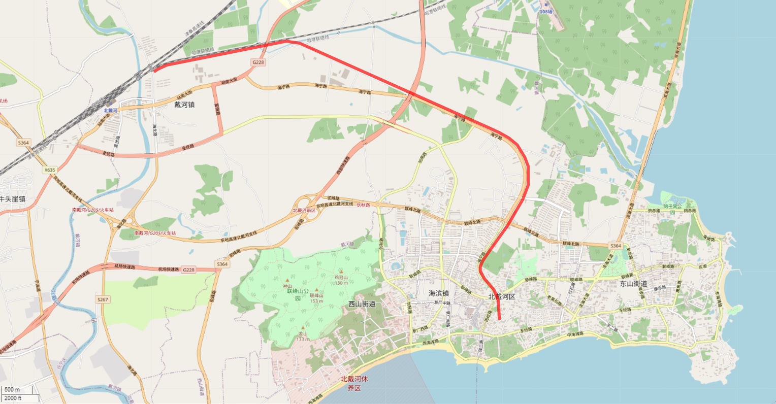
English: Former route of the narrow gauge railway at Baidaihe (北戴河附近的窄轨铁路) superimposed onto OpenStreetMap map |
| Datum | |
| Quelle | |
| Urheber |
|
Lizenz
|
Dieses Werk ist gemeinfrei, weil seine urheberrechtliche Schutzfrist abgelaufen ist. Dieses Werk ist gemeinfrei in den Vereinigten Staaten, weil es vor dem 1. Januar 1929 veröffentlicht (oder beim U.S. Copyright Office registriert) wurde. | |
| Es wurde festgestellt, dass diese Datei frei von bekannten Beschränkungen durch das Urheberrecht ist, alle verbundenen und verwandten Rechte eingeschlossen. | |
Dateiversionen
Klicke auf einen Zeitpunkt, um diese Version zu laden.
| Version vom | Vorschaubild | Maße | Benutzer | Kommentar | |
|---|---|---|---|---|---|
| aktuell | 14:00, 19. Aug. 2022 | | 1.528 × 796 (296 KB) | NearEMPTiness | Uploaded a work by *OpenStreetMap Contributors *NearEMPTiness, based on a US military map drawn in 1930ies from *https://www.openstreetmap.org/#map=14/39.8471/119.5027 *https://zhuanlan.zhihu.com/p/463300333 with UploadWizard |
Dateiverwendung
Die folgende Seite verwendet diese Datei:
_superimposed_onto_OpenStreetMap_map.jpg)