Datei:I-80 (CA).svg
Zur Navigation springen
Zur Suche springen

Größe der PNG-Vorschau dieser SVG-Datei: 600 × 600 Pixel. Weitere aus SVG automatisch erzeugte PNG-Grafiken in verschiedenen Auflösungen: 240 × 240 Pixel | 480 × 480 Pixel | 768 × 768 Pixel | 1.024 × 1.024 Pixel | 2.048 × 2.048 Pixel
Originaldatei (SVG-Datei, Basisgröße: 600 × 600 Pixel, Dateigröße: 21 KB)
![]()
Diese Datei und die Informationen unter dem roten Trennstrich werden aus dem zentralen Medienarchiv Wikimedia Commons eingebunden.
![]()
.svg?uselang=de)
W3C-validity not checked.
Beschreibung
| Beschreibung |
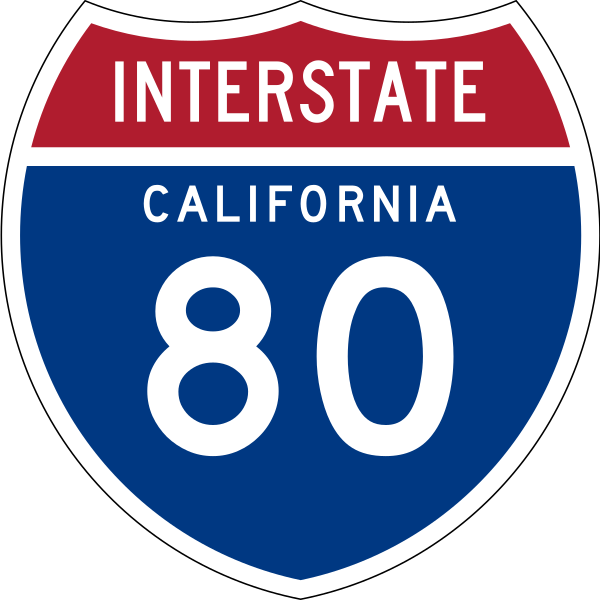
English: 24 in by 24 in (600 mm by 600 mm) Interstate shield, made to the specifications of the 1971 Caltrans sign drawing (still in use). Uses the Roadgeek 2005 fonts. (United States law does not permit the copyrighting of typeface designs, and the fonts are meant to be copies of a U.S. Government-produced work anyway.) Colors are from [1] (Pantone Red 187 and Blue 294), converted to RGB by [2]. The outside border has a width of 1 and a color of black so it shows up; in reality, signs have no outside border. |
| Datum | |
| Quelle | Eigenes Werk |
| Urheber | O |
Lizenz
This file is in the public domain because it comes from the Manual on Uniform Traffic Control Devices, sign number M1-1, which states specifically on page I-1 that:
|
.svg) |

|
Dieses Werk enthält Material, welches möglicherweise unter Markenrechte (Trademark) in einem oder mehreren Ländern fällt. Bitte versichere dich vor der Benutzung des Werkes, dass du nach den gesetzlichen Bestimmungen, die für die Umstände deiner beabsichtigten Verwendung gelten, das Recht dazu hast. Du bist ausschließlich selbst dafür verantwortlich, dass du das Markenrecht eines anderen nicht verletzt. Siehe auch den allgemeinen Haftungsausschluss. Die Verwendung dieser Marke weist weder auf eine Bestätigung des Rechteinhabers durch Wikimedia Commons oder der Wikimedia Foundation hin, noch umgekehrt. Diese Markierung zeigt nicht den Urheberrechtsstatus des zugehörigen Werks an. Es ist in jedem Falle zusätzlich eine normale Lizenzvorlage erforderlich. Siehe Commons:Lizenzen für weitere Informationen. |
Dateiversionen
Klicke auf einen Zeitpunkt, um diese Version zu laden.
| Version vom | Vorschaubild | Maße | Benutzer | Kommentar | |
|---|---|---|---|---|---|
| aktuell | 23:06, 21. Sep. 2011 | | 600 × 600 (21 KB) | Fredddie | spec says INTERSTATE legend is Series C |
| 21:38, 29. Jul. 2009 |  | 384 × 385 (39 KB) | T2 | Reverted to version as of 13:03, 23 July 2009 | |
| 21:36, 29. Jul. 2009 |  | 601 × 601 (22 KB) | T2 | update | |
| 15:03, 23. Jul. 2009 |  | 384 × 385 (39 KB) | T2 | Reverted to version as of 09:37, 25 March 2009 | |
| 19:51, 20. Jul. 2009 |  | 384 × 385 (24 KB) | T2 | update | |
| 11:37, 25. Mär. 2009 |  | 384 × 385 (39 KB) | T2 | update | |
| 04:05, 2. Jan. 2007 |  | 384 × 385 (33 KB) | O | 24 in by 24 in (600 mm by 600 mm) Interstate shield, made to the specifications of the [http://www.dot.ca.gov/hq/traffops/signtech/signdel/specs/G27-2.pdf 1971 Caltrans sign drawing] (still in use). Uses the [http://www.triskele.com/fonts/index.html Roadg |
Dateiverwendung
Keine Seiten verwenden diese Datei.
Globale Dateiverwendung
Die nachfolgenden anderen Wikis verwenden diese Datei:
- Verwendung auf en.wikipedia.org
- San Francisco Peninsula
- Alameda County, California
- Contra Costa County, California
- Nevada County, California
- Placer County, California
- Sierra County, California
- Solano County, California
- Northern California
- San Francisco–Oakland Bay Bridge
- User:Branddobbe/Temporary
- Richmond–San Rafael Bridge
- Transbay Tube
- Carquinez Bridge
- Benicia–Martinez Bridge
- Eastern California
- California State Route 80
- Transportation in the San Francisco Bay Area
- Interstate 80 in California
- Transportation in California
- User:Artisol2345
- Sacramento metropolitan area
- User:Timsabin/List of HOT and ETL lanes in the United States
- San Mateo–Hayward Bridge
- Talk:List of auxiliary Interstate Highways/Archive 1
- User:Gz260/Roads/I (USA)/Wikidata
- User:Kevon kevono/Started From the Bottom
- User:Morriswa/Highway sorted by location
- User:Ejells2/sandbox
- User:Elvatomasvato
- List of bridges in the United States
- Verwendung auf es.wikipedia.org
- Condado de Alameda
- Condado de Contra Costa
- Anexo:Autopistas interestatales auxiliares
- Carreteras de Estados Unidos
- Condado de Nevada (California)
- Condado de Placer
- Condado de Sacramento
- Condado de Sierra (California)
- Condado de Solano
- Condado de Yolo
- Anexo:Carreteras estatales de California
- Ruta Estatal de California 79
- Interestatal 5 en California
- U.S. Route 101 (California)
- Ruta Estatal de California 82
- Interestatal 80 (California)
- Wikiproyecto:Estados Unidos/Carreteras/CA
- Ruta Estatal de California 4
- Interestatal 505
- Interestatal 580 (California)
Weitere globale Verwendungen dieser Datei anschauen.
.svg)
.svg)