Datei:Lake O the Pines Texas.jpg
Zur Navigation springen
Zur Suche springen
Größe dieser Vorschau: 800 × 533 Pixel. Weitere Auflösungen: 320 × 213 Pixel | 640 × 427 Pixel | 1.024 × 683 Pixel | 1.500 × 1.000 Pixel
Originaldatei (1.500 × 1.000 Pixel, Dateigröße: 268 KB, MIME-Typ: image/jpeg)
![]()
Diese Datei und die Informationen unter dem roten Trennstrich werden aus dem zentralen Medienarchiv Wikimedia Commons eingebunden.
![]()
| Beschreibung |
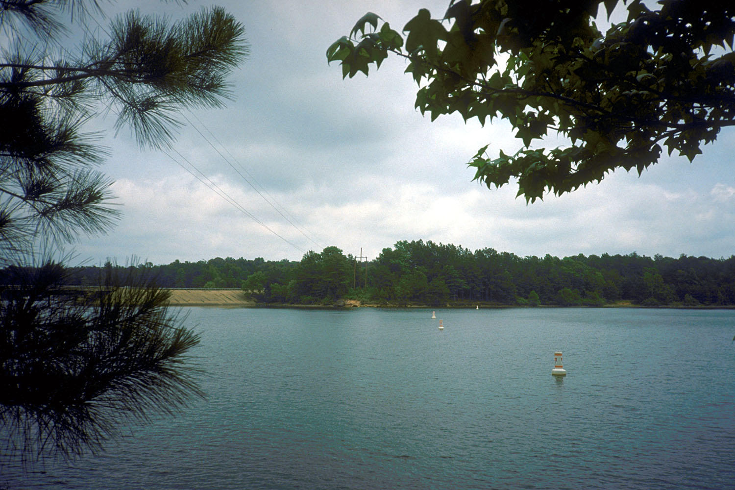
English: Lake O’ the Pines on Big Cypress Bayou, Marion County, Texas, USA. The lake is impounded by Ferrells Bridge Dam, a concrete-and-earthfill dam that is over 2 miles (3.2 km) long. The U.S. Army Corps of Engineers constructed the dam in 1951 for flood control and water supply.
Coordinates: 32°46′14″N 94°32′34″W / 32.77056°N 94.54278°W |
|||
| Ort | Marion County, Texas, USA | |||
| Datum | not specified or unknown | |||
| Quelle |
U.S. Army Corps of Engineers Digital Visual Library Image page Image description page Digital Visual Library home page |
|||
| Urheber | U.S. Army Corps of Engineers, photographer not specified or unknown | |||
| Genehmigung (Weiternutzung dieser Datei) |
|
Dateiversionen
Klicke auf einen Zeitpunkt, um diese Version zu laden.
| Version vom | Vorschaubild | Maße | Benutzer | Kommentar | |
|---|---|---|---|---|---|
| aktuell | 06:48, 19. Mai 2007 | | 1.500 × 1.000 (268 KB) | DanMS | {{Information | Description = {{en|Lake O’ the Pines on Big Cypress Bayou, Marion County, Texas, USA. The lake is impounded by Ferrells Bridge Dam, a concrete-and-earthfill dam that is over 2 miles (3.2 km) long. The U.S. Army Corps of Engineers cons |
Dateiverwendung
Die folgende Seite verwendet diese Datei:
Globale Dateiverwendung
Die nachfolgenden anderen Wikis verwenden diese Datei:
- Verwendung auf ceb.wikipedia.org
- Verwendung auf en.wikipedia.org
- Verwendung auf www.wikidata.org