Datei:West Yorkshire outline map with UK.png
Zur Navigation springen
Zur Suche springen
Es ist keine höhere Auflösung vorhanden.
West_Yorkshire_outline_map_with_UK.png (800 × 558 Pixel, Dateigröße: 407 KB, MIME-Typ: image/png)
![]()
Diese Datei und die Informationen unter dem roten Trennstrich werden aus dem zentralen Medienarchiv Wikimedia Commons eingebunden.
![]()
Beschreibung
| Beschreibung |
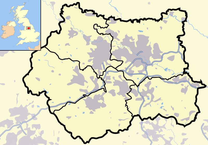
Map of en:West Yorkshire and surrounding area, with indented map of the British Isles for national context. County and borough boundaries in black, urban areas in grey, motorways in blue with white stripe, water bodies in light blue. |
| Datum | 9. April 2007 (Original-Hochladedatum) |
| Quelle | Übertragen aus en.wikipedia nach Commons. |
| Urheber | Jhamez84 in der Wikipedia auf Englisch |
Lizenz
| Dieses Werk wurde von seinem Urheber Jhamez84 in der Wikipedia auf Englisch als gemeinfrei veröffentlicht. Dies gilt weltweit. In manchen Staaten könnte dies rechtlich nicht möglich sein. Sofern dies der Fall ist: Jhamez84 gewährt jedem das bedingungslose Recht, dieses Werk für jedweden Zweck zu nutzen, es sei denn, Bedingungen sind gesetzlich erforderlich. |
Ursprüngliches Datei-Logbuch
Die ursprüngliche Dateibeschreibungsseite war hier. Alle folgenden Benutzernamen beziehen sich auf en.wikipedia.
- 2007-04-09 23:11 Jhamez84 800×558×8 (416924 bytes) Map of [[West Yorkshire]] and surrounding area, with indented map of the British Isles for national context. County and borough boundaries in black, urban areas in grey, motorways in blue with white stripe, water bodies in light blue.
Dateiversionen
Klicke auf einen Zeitpunkt, um diese Version zu laden.
| Version vom | Vorschaubild | Maße | Benutzer | Kommentar | |
|---|---|---|---|---|---|
| aktuell | 23:02, 29. Jun. 2007 | | 800 × 558 (407 KB) | Pit-yacker | {{Information |Description=Map of en:West Yorkshire and surrounding area, with indented map of the British Isles for national context. County and borough boundaries in black, urban areas in grey, motorways in blue with white stripe, water bodies in |
Dateiverwendung
Keine Seiten verwenden diese Datei.
Globale Dateiverwendung
Die nachfolgenden anderen Wikis verwenden diese Datei:
- Verwendung auf cs.wikipedia.org
- Verwendung auf en.wikipedia.org
- Verwendung auf en.wikinews.org
- Verwendung auf es.wikipedia.org
- Verwendung auf id.wikipedia.org
- Chapel Allerton
- Farnley
- Headingley
- Roundhay
- Seacroft
- Shadwell
- Pudsey
- Otley
- Garforth
- Templat:Location map West Yorkshire
- Rothwell
- Wetherby
- Holbeck
- Hunslet
- Armley
- Wortley
- Burley, Leeds
- Cross Gates
- Middleton
- Gipton
- Belle Isle
- Halton Moor
- Moortown
- Alwoodley
- Colton, Leeds
- Oakwood, Leeds
- Adel, Leeds
- Bramley, Leeds
- Katedral Leeds
- Verwendung auf it.wikipedia.org
- Verwendung auf ml.wikipedia.org
- Verwendung auf qu.wikipedia.org
- Verwendung auf ug.wikipedia.org