Category:Pfarrkirche St. Markus (Potzneusiedl)
Jump to navigation
Jump to search
| Object location | | View all coordinates using: OpenStreetMap |
|---|
church building in Potzneusiedl, Austria  | |||||
| Upload media | |||||
| Instance of | |||||
|---|---|---|---|---|---|
| Named after | |||||
| Location | Potzneusiedl, Neusiedl am See District, Burgenland, Austria | ||||
| Heritage designation | |||||
 | |||||
Media in category "Pfarrkirche St. Markus (Potzneusiedl)"
The following 5 files are in this category, out of 5 total.
-
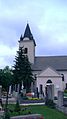 Potzneusiedl - Kirche 01.JPG 1,584 × 2,816; 1.92 MB
-
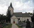
 Potzneusiedl - Kirche 02.JPG 2,816 × 1,584; 1.77 MB
-
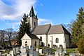 Potzneusiedl - Kirche.JPG 2,343 × 1,561; 2.9 MB
-
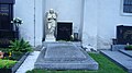 Potzneusiedl - Ortsfriedhof.JPG 2,816 × 1,584; 1.86 MB
-
 Potzneusiedl Pfarrkirche Hl Markus.jpg 3,915 × 3,236; 2.33 MB


