Datei:East Dunbartonshire council.PNG
Zur Navigation springen
Zur Suche springen

Größe dieser Vorschau: 480 × 599 Pixel. Weitere Auflösungen: 192 × 240 Pixel | 384 × 480 Pixel | 615 × 768 Pixel | 820 × 1.024 Pixel | 1.641 × 2.048 Pixel | 2.733 × 3.411 Pixel
Originaldatei (2.733 × 3.411 Pixel, Dateigröße: 207 KB, MIME-Typ: image/png)
![]()
Diese Datei und die Informationen unter dem roten Trennstrich werden aus dem zentralen Medienarchiv Wikimedia Commons eingebunden.
![]()
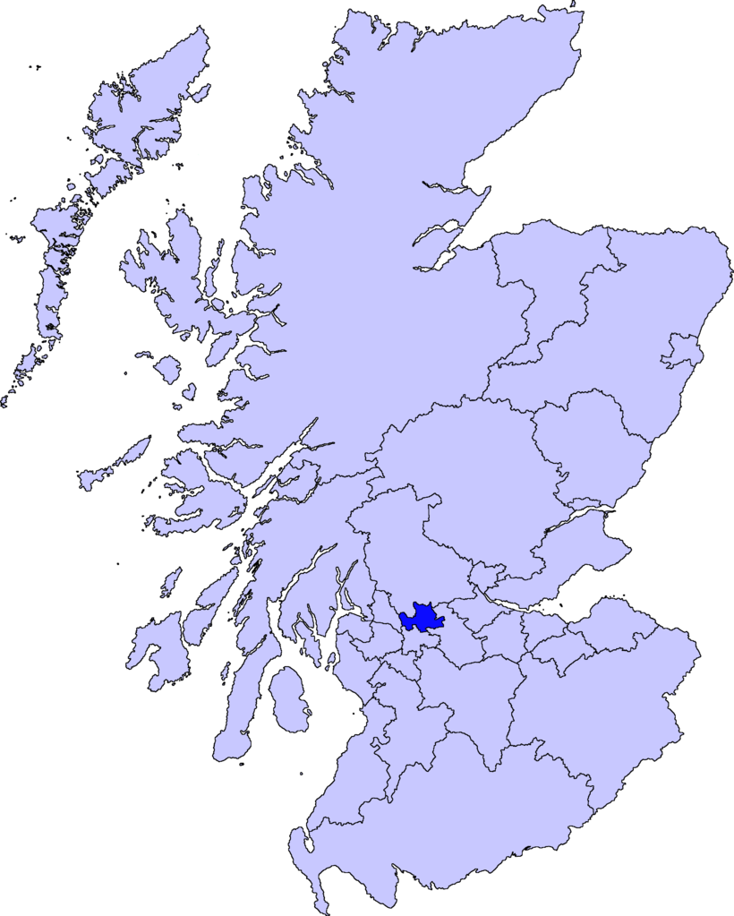
| Beschreibung | map of East Dunbartonshire | ||||||||
| Datum | |||||||||
| Quelle |
Barryob, der Nutzungsrechtsinhaber dieses Werkes, veröffentlicht es hiermit unter der folgenden Lizenz:
|
||||||||
| Urheber | User:Barryob |

Dateiversionen
Klicke auf einen Zeitpunkt, um diese Version zu laden.
| Version vom | Vorschaubild | Maße | Benutzer | Kommentar | |
|---|---|---|---|---|---|
| aktuell | 07:06, 10. Apr. 2007 | | 2.733 × 3.411 (207 KB) | Barryob | |
| 23:57, 8. Apr. 2007 |  | 2.733 × 3.411 (208 KB) | Barryob | ||
| 03:20, 4. Apr. 2007 |  | 2.733 × 3.411 (208 KB) | Barryob | {{Information |Description=map of East Dunbartonshire |Source={{GFDL-user|Barryob}} |Date=2006-04-04 |Author=User:Barryob |Permission= |other_versions= }} Category:Maps of unitary councils of Scotland |
Dateiverwendung
Die folgende Seite verwendet diese Datei:
Globale Dateiverwendung
Die nachfolgenden anderen Wikis verwenden diese Datei:
- Verwendung auf ar.wikipedia.org
- Verwendung auf ca.wikipedia.org
- Verwendung auf cy.wikipedia.org
- Verwendung auf en.wikipedia.org
- Verwendung auf eu.wikipedia.org
- Lankide:Euskaldunaa
- Kirkintilloch
- Bearsden
- Bishopbriggs
- Txantiloi:Ekialdeko Dunbartonshire
- Wikiproiektu:Irlanda, Gales eta Eskoziako udalerriak
- Lennoxtown
- Lenzie
- Milngavie
- Auchenreoch
- Baldernock
- Balmore
- Clachan of Campsie
- Haughhead
- Huntershill Village
- Milton of Campsie
- Torrance (Eakialdeko Dunbartonshire)
- Twechar
- Woodilee Village
- Bardowie
- Barnellan
- Birdston
- Auchinairn
- Cadder
- Waterside (Ekialdeko Dunbartonshire)
- Verwendung auf ga.wikipedia.org
- Verwendung auf pt.wikipedia.org
- Verwendung auf www.wikidata.org
- Verwendung auf zh-min-nan.wikipedia.org
- Verwendung auf zh.wikipedia.org