Datei:MaharashtraSangli.png
Zur Navigation springen
Zur Suche springen
Größe dieser Vorschau: 778 × 600 Pixel. Weitere Auflösungen: 312 × 240 Pixel | 623 × 480 Pixel | 997 × 768 Pixel | 1.280 × 987 Pixel | 2.168 × 1.671 Pixel
Originaldatei (2.168 × 1.671 Pixel, Dateigröße: 426 KB, MIME-Typ: image/png)
![]()
Diese Datei und die Informationen unter dem roten Trennstrich werden aus dem zentralen Medienarchiv Wikimedia Commons eingebunden.
![]()
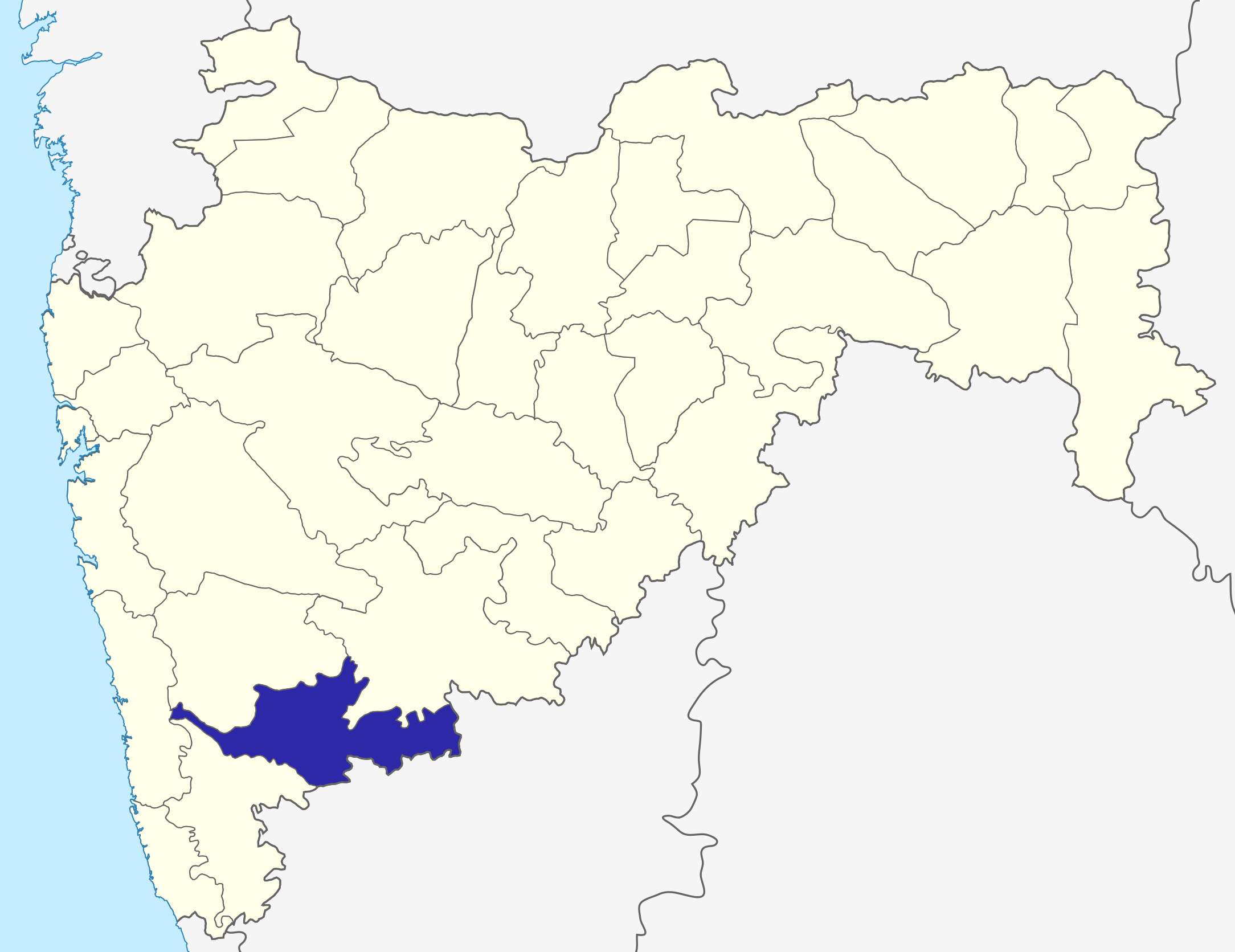
Sangli dist
Source: Drawn by me
| Ich, der Urheberrechtsinhaber dieses Werkes, veröffentliche es als gemeinfrei. Dies gilt weltweit. In manchen Staaten könnte dies rechtlich nicht möglich sein. Sofern dies der Fall ist: Ich gewähre jedem das bedingungslose Recht, dieses Werk für jedweden Zweck zu nutzen, es sei denn, Bedingungen sind gesetzlich erforderlich. |
\
Dateiversionen
Klicke auf einen Zeitpunkt, um diese Version zu laden.
| Version vom | Vorschaubild | Maße | Benutzer | Kommentar | |
|---|---|---|---|---|---|
| aktuell | 08:31, 6. Okt. 2015 | | 2.168 × 1.671 (426 KB) | Abhijitsathe | State map updated to reflect new Palghar district |
| 02:09, 22. Sep. 2009 |  | 2.789 × 2.232 (954 KB) | Abhijitsathe | India map inset | |
| 17:41, 10. Apr. 2009 |  | 2.789 × 2.232 (795 KB) | Abhijitsathe | {{Information |Description=Sangli district in Maharashtra |Source=*File:Maharashtra_locator_map.svg |Date=2009-04-10 16:38 (UTC) |Author=*File:Maharashtra_locator_map.svg: '''PlaneMad''' *derivative work: ~~~ |Permission=see below |other_versi | |
| 19:29, 6. Aug. 2005 |  | 200 × 161 (4 KB) | Nichalp | Sangli dist Source: Drawn by me {{PD-self}} Category:Maharashtra district maps\ |
Dateiverwendung
Keine Seiten verwenden diese Datei.