Datei:Canada Prince Edward Island location map 2.svg
Zur Navigation springen
Zur Suche springen

Größe der PNG-Vorschau dieser SVG-Datei: 758 × 600 Pixel. Weitere aus SVG automatisch erzeugte PNG-Grafiken in verschiedenen Auflösungen: 303 × 240 Pixel | 607 × 480 Pixel | 971 × 768 Pixel | 1.280 × 1.013 Pixel | 2.560 × 2.025 Pixel | 1.039 × 822 Pixel
Originaldatei (SVG-Datei, Basisgröße: 1.039 × 822 Pixel, Dateigröße: 248 KB)
![]()
Diese Datei und die Informationen unter dem roten Trennstrich werden aus dem zentralen Medienarchiv Wikimedia Commons eingebunden.
![]()
| Beschreibung |
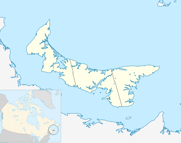
Quadratische Plattkarte, N-S-Streckung 145 %. Geographische Begrenzung der Karte:
Equirectangular projection, N/S stretching 145 %. Geographic limits of the map:
|
| Datum | |
| Quelle | Eigenes Werk, based on File:Canada_Prince_Edward_Island_location_map.svg |
| Urheber | Hanhil (talk) 18:14, 24 September 2009 (UTC) based on work by NordNordWest |
| Genehmigung (Weiternutzung dieser Datei) |
Ich, der Urheber dieses Werkes, veröffentliche es unter der folgenden Lizenz: Diese Datei ist unter der Creative-Commons-Lizenz „Namensnennung – Weitergabe unter gleichen Bedingungen 3.0 nicht portiert“ lizenziert.
|
Dateiversionen
Klicke auf einen Zeitpunkt, um diese Version zu laden.
| Version vom | Vorschaubild | Maße | Benutzer | Kommentar | |
|---|---|---|---|---|---|
| aktuell | 20:14, 24. Sep. 2009 | | 1.039 × 822 (248 KB) | Hanhil | {{Information |Description= {{de|Positionskarte von Prince Edward Island, Kanada}} Quadratische Plattkarte, N-S-Streckung 145 %. Geographische Begrenzung der Karte: * N: 47.3° N * S: 45.5° N * W: 64.9° W * O: |
Dateiverwendung
Keine Seiten verwenden diese Datei.
Globale Dateiverwendung
Die nachfolgenden anderen Wikis verwenden diese Datei:
- Verwendung auf ar.wikipedia.org
- Verwendung auf azb.wikipedia.org
- Verwendung auf ban.wikipedia.org
- Verwendung auf ba.wikipedia.org
- Verwendung auf bg.wikipedia.org
- Verwendung auf bn.wikipedia.org
- Verwendung auf en.wikipedia.org
- List of counties of Prince Edward Island
- Prince Edward Island National Park
- Stratford, Prince Edward Island
- Summerside, Prince Edward Island
- Central Bedeque
- Cornwall, Prince Edward Island
- Charlottetown Airport
- CFB Summerside
- List of islands of Prince Edward Island
- Bonshaw, Prince Edward Island
- Tignish
- Cavendish, Prince Edward Island
- Montague, Prince Edward Island
- Summerside Airport
- Cable Head Airpark
- Grand River Airport
- Basin Head, Prince Edward Island
- Knutsford, Prince Edward Island
- Souris, Prince Edward Island
- Union Road
- Foxley River, Prince Edward Island
- Borden-Carleton
- Richmond, Prince Edward Island
- RCAF Station Mount Pleasant
- Ascension, Prince Edward Island
- North Rustico
- St. Felix, Prince Edward Island
- Alberton, Prince Edward Island
- New London, Prince Edward Island
- RCAF Station Charlottetown
- Brudenell River Provincial Park
- Cedar Dunes Provincial Park
- Red Point Provincial Park
- Argyle Shore Provincial Park
- Bloomfield Provincial Park
- Bonshaw Provincial Park
- Wood Islands Provincial Park
- Hampton, Prince Edward Island
- Kensington, Prince Edward Island
- Georgetown, Prince Edward Island
- O'Leary, Prince Edward Island
- Miscouche
- Brackley, Prince Edward Island
Weitere globale Verwendungen dieser Datei anschauen.