Datei:NZ-Northland plain map2.png
Zur Navigation springen
Zur Suche springen
Es ist keine höhere Auflösung vorhanden.
NZ-Northland_plain_map2.png (378 × 423 Pixel, Dateigröße: 12 KB, MIME-Typ: image/png)
![]()
Diese Datei und die Informationen unter dem roten Trennstrich werden aus dem zentralen Medienarchiv Wikimedia Commons eingebunden.
![]()

|
Dieses Bild des Typs Locator map sollte als Vektorgrafik im SVG-Format neu erstellt werden. Vektorformate haben zahlreiche Vorteile; weitere Information unter Commons:Media for cleanup. Wenn dir eine SVG-Version dieses Bildes vorliegt, so lade diese bitte hoch. Nach dem Hochladen der Datei ist diese Vorlage auf der aktuellen Bildbeschreibungsseite durch die Vorlage {{Vector version available}}, oder kürzer {{Vva}}, zu ersetzen. Es ist empfohlen die neue SVG-Datei „NZ-Northland plain map2.svg“ zu nennen – dann benötigt die Vorlage vector version available (bzw. vva) keinen Parameter.
|
Beschreibung
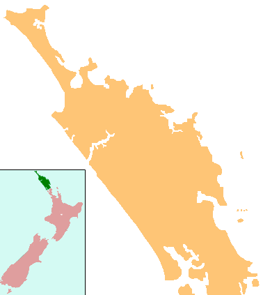
| Beschreibung | Locator map for Northland, New Zealand |
| Datum | |
| Quelle | combination of Image:NZ-NI plain map.png and Image:Position of Northland.png |
| Urheber | Grutness, based on work by User:Gadfium |
| Genehmigung (Weiternutzung dieser Datei) |
public domain. Copied from en:Image:NZ-Northland plain map2.png |
| Andere Versionen | Earlier version is at Image:NZ-Northland_plain_map.png |
Lizenz
| Dieses Werk wurde von seinem Urheber Grutness als gemeinfrei veröffentlicht. Dies gilt weltweit. In manchen Staaten könnte dies rechtlich nicht möglich sein. Sofern dies der Fall ist: |
Dateiversionen
Klicke auf einen Zeitpunkt, um diese Version zu laden.
| Version vom | Vorschaubild | Maße | Benutzer | Kommentar | |
|---|---|---|---|---|---|
| aktuell | 01:08, 17. Apr. 2008 | | 378 × 423 (12 KB) | Gadfium | {{Information |Description=Locator map for Northland, New Zealand |Source=combination of Image:NZ-NI plain map.png and Image:Position of Northland.png |Date=17 March 2008 |Author=Grutness, based on work by User:Gadfium |Permission=public dom |
Dateiverwendung
Keine Seiten verwenden diese Datei.
Globale Dateiverwendung
Die nachfolgenden anderen Wikis verwenden diese Datei:
- Verwendung auf ar.wikipedia.org
- Verwendung auf ceb.wikipedia.org
- Verwendung auf en.wikipedia.org
- Whangārei
- Lake Ōmāpere
- Whangarei Airport
- Kaitaia Airport
- Rangiahua
- Kerikeri Airport
- List of schools in the Northland Region
- Taurikura
- Mount Manaia
- Mangamuka
- Matihetihe
- Omanaia
- Oromahoe
- Whirinaki, Northland
- Whangape Harbour
- Whangaroa Harbour
- Umawera
- Aranga, New Zealand
- Arapohue
- Kaihu
- Pouto Peninsula
- Module:Location map/data/New Zealand Northland/doc
- Kokopu, New Zealand
- Titoki, New Zealand
- Pakotai
- Poroti
- Purua
- Tauraroa
- Waiotira
- Whananaki
- Otiria
- Ōruawharo River
- Topuni River
- Bulrush Lake (Northland)
- Half Mile Lagoon
- Lake Half
- Lake Humuhumu
- Lake Kahuparere
- Lake Kaiwai
- Lake Kanono
- Lake Kapoai
- Lake Karaka
- Lake Karoro / Mathews
- Lake Kihona
- Lake Manuwai
- Lake Mokeno
Weitere globale Verwendungen dieser Datei anschauen.