Datei:Switzerland-map.png
Zur Navigation springen
Zur Suche springen
Größe dieser Vorschau: 800 × 517 Pixel. Weitere Auflösungen: 320 × 207 Pixel | 640 × 413 Pixel | 1.024 × 661 Pixel | 1.280 × 827 Pixel | 2.453 × 1.584 Pixel
Originaldatei (2.453 × 1.584 Pixel, Dateigröße: 1,07 MB, MIME-Typ: image/png)
![]()
Diese Datei und die Informationen unter dem roten Trennstrich werden aus dem zentralen Medienarchiv Wikimedia Commons eingebunden.
![]()
Beschreibung
| Beschreibung |
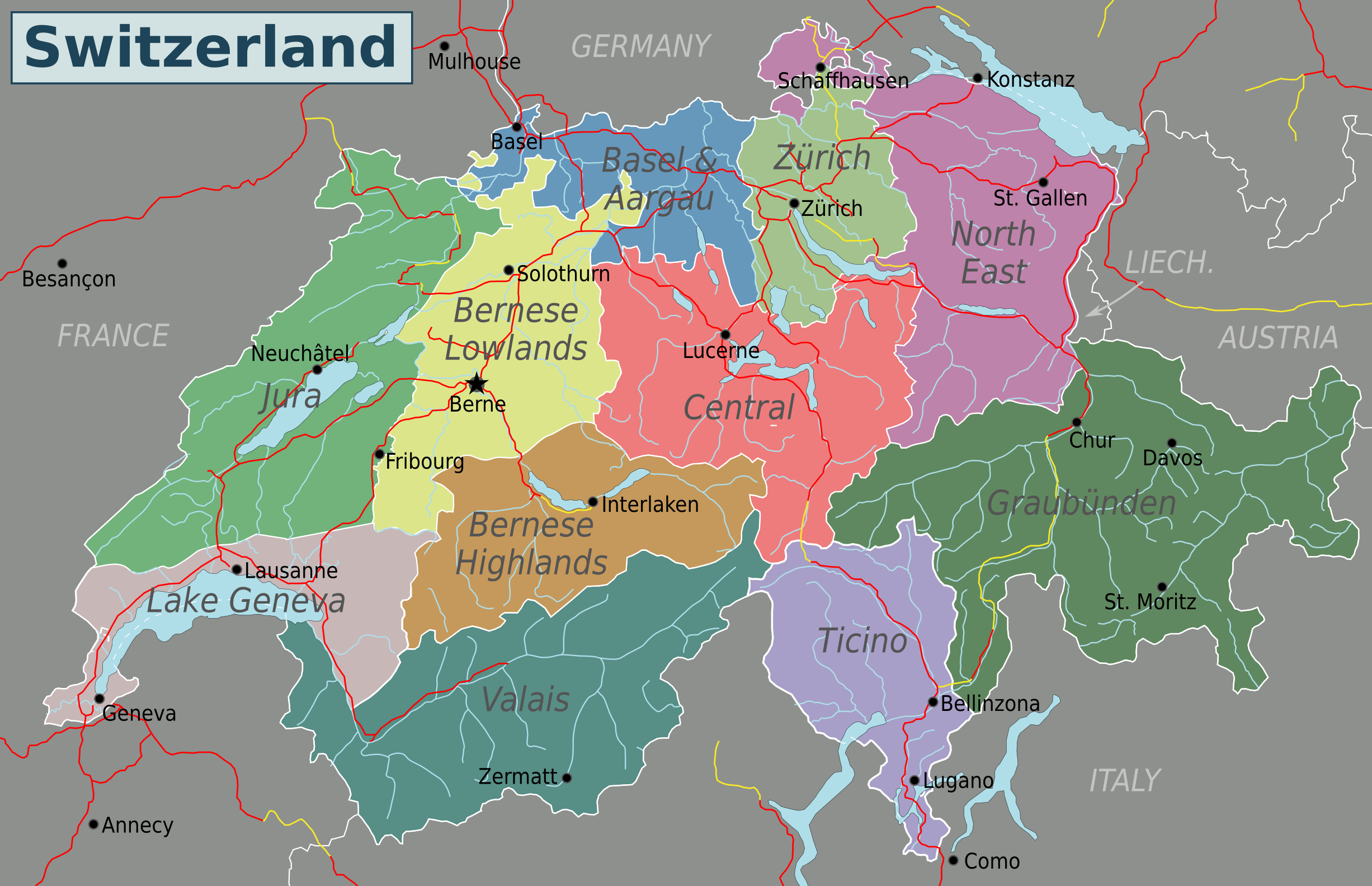
English: Map of Switzerland (PNG). Nota Bene: the regions displayed in this map are not official administrative divisions.
|
| Datum | |
| Quelle | Eigenes Werk based on Suisse cantons.svg by Pymouss44, Switzerland regions.svg by Stefan Ertmann and work by OpenStreetMap.org contributors. |
| Urheber | Globe-trotter |
| Andere Versionen | Inkscape SVG |
Lizenz
Diese Datei ist lizenziert unter der Creative-Commons-Lizenz „Namensnennung – Weitergabe unter gleichen Bedingungen 4.0 international“.
- Dieses Werk darf von dir
- verbreitet werden – vervielfältigt, verbreitet und öffentlich zugänglich gemacht werden
- neu zusammengestellt werden – abgewandelt und bearbeitet werden
- Zu den folgenden Bedingungen:
- Namensnennung – Du musst angemessene Urheber- und Rechteangaben machen, einen Link zur Lizenz beifügen und angeben, ob Änderungen vorgenommen wurden. Diese Angaben dürfen in jeder angemessenen Art und Weise gemacht werden, allerdings nicht so, dass der Eindruck entsteht, der Lizenzgeber unterstütze gerade dich oder deine Nutzung besonders.
- Weitergabe unter gleichen Bedingungen – Wenn du das Material wiedermischst, transformierst oder darauf aufbaust, musst du deine Beiträge unter der gleichen oder einer kompatiblen Lizenz wie das Original verbreiten.
Dateiversionen
Klicke auf einen Zeitpunkt, um diese Version zu laden.
| Version vom | Vorschaubild | Maße | Benutzer | Kommentar | |
|---|---|---|---|---|---|
| aktuell | 07:40, 4. Mai 2016 | | 2.453 × 1.584 (1,07 MB) | Drat70 | Reverted to version as of 11:04, 16 May 2015 (UTC) as this file is also used by other pages |
| 07:38, 4. Mai 2016 |  | 2.462 × 1.590 (1,04 MB) | Drat70 | Changed some of the regions as per discussion on the wikivoyage Switzerland talk page. | |
| 13:04, 16. Mai 2015 |  | 2.453 × 1.584 (1,07 MB) | Globe-trotter | {{Information |description={{en|1=Map of Switzerland (PNG).}} {{Created with Inkscape|IMPORTANT=1}} |date=2015-05-16 |source={{own}} based on Suisse cantons.svg by Pymouss44, [[:File:Switzerland regions.s... |
Dateiverwendung
Keine Seiten verwenden diese Datei.
Globale Dateiverwendung
Die nachfolgenden anderen Wikis verwenden diese Datei:
- Verwendung auf en.wikivoyage.org
- Verwendung auf fa.wikivoyage.org
- Verwendung auf hi.wikibooks.org