Dumbbell Island
Zur Navigation springen
Zur Suche springen
| Dumbbell Island
| ||
|---|---|---|
| Gewässer | Marguerite Bay | |
| Inselgruppe | Terra Firma Islands | |
| Geographische Lage | 68° 43′ S, 67° 35′ W | |
|
| ||
| Einwohner | unbewohnt | |
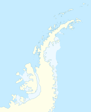
Dumbbell Island (von englisch dumbbell ‚Hantel‘, in Argentinien [sic!] Islote Dumbell) ist eine niedrige und felsige Insel in der Marguerite Bay vor der Fallières-Küste des westantarktischen Grahamlands. In der Gruppe der Terra Firma Islands liegt sie 1,5 km westlich von Alamode Island.
Der Falkland Islands Dependencies Survey nahm 1948 geodätische Vermessungen vor und gab der Insel ihren an ihre Form angelehnten Namen.
Weblinks
[Bearbeiten | Quelltext bearbeiten]- Dumbbell Island. In: Geographic Names Information System. United States Geological Survey, United States Department of the Interior, archiviert vom (englisch).
- Dumbbell Island auf geographic.org (englisch)
